
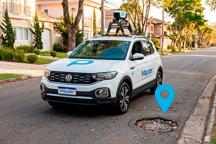
From the street to the dashboard, in one continuous flow.
Mapzer turns what happens on the roads into decision-ready information. Here is how, from start to finish.
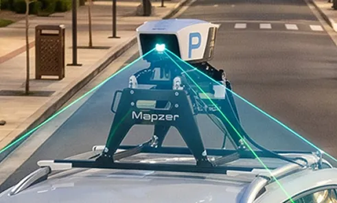
Capture in motion
Vehicles equipped with cameras and sensors travel the roads and record the territory, without disrupting traffic.
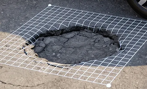
AI detects and classifies
Artificial intelligence automatically recognizes and georeferences dozens of issue types, with visual proof.
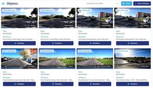
Dashboard and action
Everything arrives organized in one dashboard: prioritized by risk, filterable by area, and ready for your team to act on.
More than roads.
The entire public space.
Mapzer simultaneously detects and maps four management areas.
Everything your operation needs, in one place.
Decide with data and prove it to anyone who asks.
Real time
A living map of every issue across the territory, updated around the clock. Your team stops finding out about problems when the phone rings.
Segmentation
The platform is segmented: each team sees only what falls under its responsibility, with no noise.
Visual proof
Every issue comes with a photo and exact location. It is easy to understand the problem before sending anyone out there.
Prioritization
The intelligence ranks issues by severity, so your team starts with what really matters.
Reports
Data by issue type, period, and region, ready to present in meetings, budget discussions, or accountability reports.
History
The full history of interventions is logged. You can prove what was done, when, and where.
Built for those who operate territory, from the public sector to the private sector.
Municipal, state, and federal governments, highway concessionaires, and companies with private road networks.
Cities and municipalities
State and federal governments
Highway concessionaires
Companies with private roads
Industry, mining, and ports
Up to 88% savings on territory inspection.
Crews driving the roads cost a lot and see little. Mapzer covers the entire road network, all the time, at a fraction of that cost.