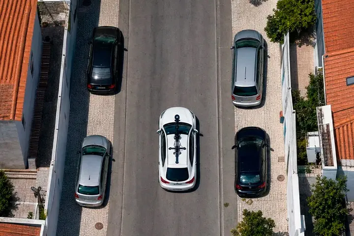
The Usual Way
The city stalls at the same spots.
Everyone knows that intersection, that corner, that sidewalk. But without data, it's hard to set priorities and show why that spot comes first.
Traffic that won't move
Blocked roads and illegal parking choke traffic across the entire city.
People left out
Inaccessible sidewalks exclude wheelchair users, people with strollers, and anyone with reduced mobility.
Decisions without evidence
Without data, it's hard to know where to intervene and how to justify the intervention.
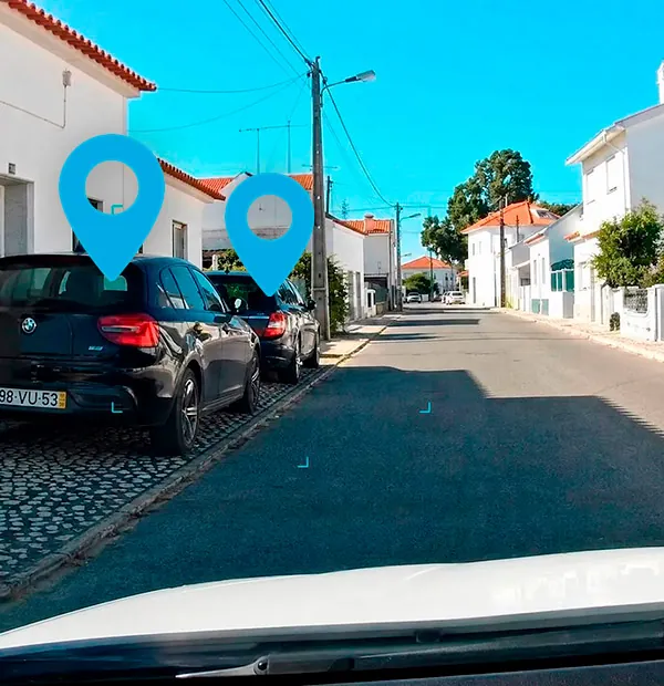
With Mapzer
You prioritize with data, not with pressure.
Our intelligence shows where the city stalls and where access is missing, with the evidence to justify every project.
- Illegal parking and blocked roads
- Sidewalk spots with limited accessibility
- Bottlenecks that recur in the same place
- Every spot with a photo, exact location, and severity
Want a city that flows better?
We'll show you how Mapzer sees the mobility and accessibility of your territory.